What is GIS?
Geographical Information System
It is a business information management system that helps us capture, analyze and present spatial information on a map.
A few things to keep in mind


GIS Data Analysis
This is the process of deriving information from one or more layers of spatial data.
What can GIS do for you?
Retailers
- Pinpoint the best locations for new stores.
- Monitor sales trends by location.
Utilities
- Enables you to respond promptly to outages
Police
- Discover patterns in criminal activity
Patterns and trends are easier to follow when plotted on a map.
GIS helps answer difficult questions to make smarter decisions.
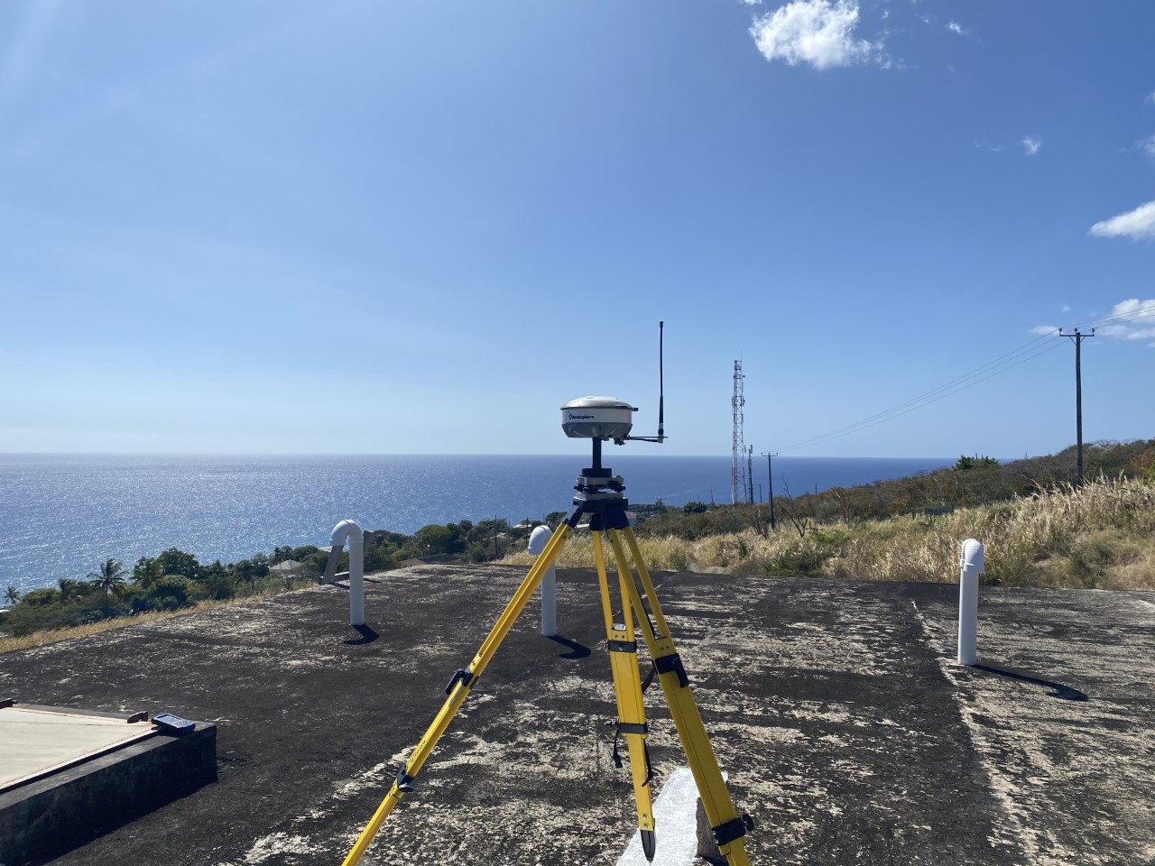
GIS Data Collection
Using GPS or a combination of surveying techniques/instruments, data in the form of points (Trees etc.), lines (Roads etc.) or Polygons (Buildings etc.) can be collected to create a custom GIS database or to be further utilized in data analysis for you upon request.